
What We Do
We provide training, consultations, and collaboration on the latest software, equipment, and methods, including GIS, 3D modeling, laser scanning, aerial drones, photogrammetry, virtual and augmented reality, and more.
Get in touch
- Email the Spatial Tech experts at spatial@virginia.edu
- Staff: Chris Gist and Drew MacQueen
- Office: Clemons 3rd Floor (DML wing)
- Hours: Weekdays 9-5 in general, but email the GIS folks in advance if you need us to be there
- Staff: Will Rourk and Arin Bennett
- Office: Clemons 3rd Floor (DML wing)
- Hours: by appointment
GIS staff availability
Cultural heritage informatics staff availability
GIS
- See our GIS Research Page for all things GIS: download software, find spatial data, attend a workshop, or schedule a consultation with our staff specialists.
- Our GIS resources include the UVA Library Geoportal and the UVA Image Discovery Tool.
- We offer a series of friendly, jargon-free workshops each fall and spring. You can read more about upcoming and past workshops on our events page.
University support of GIS
GIS workshop series
Cultural Heritage Informatics
- Visit our cultural heritage informatics page to learn more about our ongoing projects; view our equipment, data, and demos; and access our 3D data repository.
- Documentation for Cultural Heritage Informatics technologies and methods (funded by UVA Parents Fund)
Cultural heritage informatics at UVA
Tools, Data, Equipment
* = by appointment/request only. ^ = not distributed
-
GIS software & extensions
- ArcGIS Pro
- ArcMap
- ArcGIS Server
- Drone2Map*
- City Engine*
- Business Analyst
- Network Analyst
- Spatial Analyst
-
ArcGIS Online Enterprise Access
- Story Maps
- Web AppBuilder
- Business Analyst Online
- Community Analyst Online
- ArcGIS Insights
-
Supported GIS tools
- QGIS
- Google Earth
- Google Tour Builder
-
VR & AR
- 2 VR spaces (Clemons 3rd Floor Viz Lounge)
- Virtual reality and augmented reality equipment^
-
GIS equipment
- 4 Garmin eTrex 20 handheld GPS units
-
3D laser scanning
- FARO Focus 3D laser scanner*
- Creaform Zscanner 700 CX*
- FARO Scene*
- Creaform VX Elements^
-
Photogrammetry
- DJI Inspire 1 quadcopter*
- Photoscan Pro^
- Autodesk Recap
-
Tactile surface scanning
- Microscribe*
- Rhino 3D^
-
Data & modeling software
- FARO Scene LT
- Autodesk Recap
- Geomagic*
- Mesh Lab
- Cloud Compare
- Sketchup
- Blender
- Maya 3D (in G-Lab)
Spatial
Technologists
Technologists
-
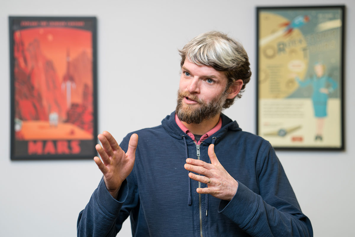
 3D Visualization Specialist
 -
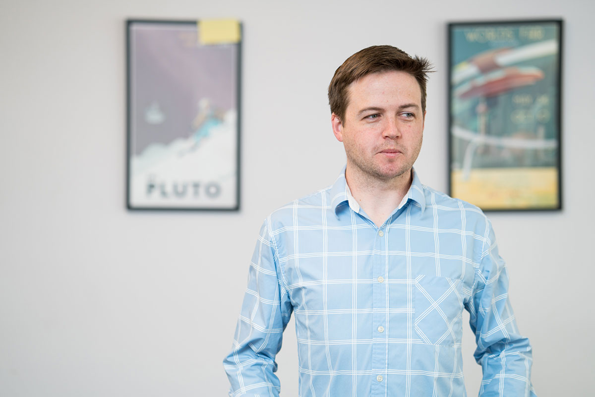
 GIS Specialist
 -
 GIS Specialist
 -
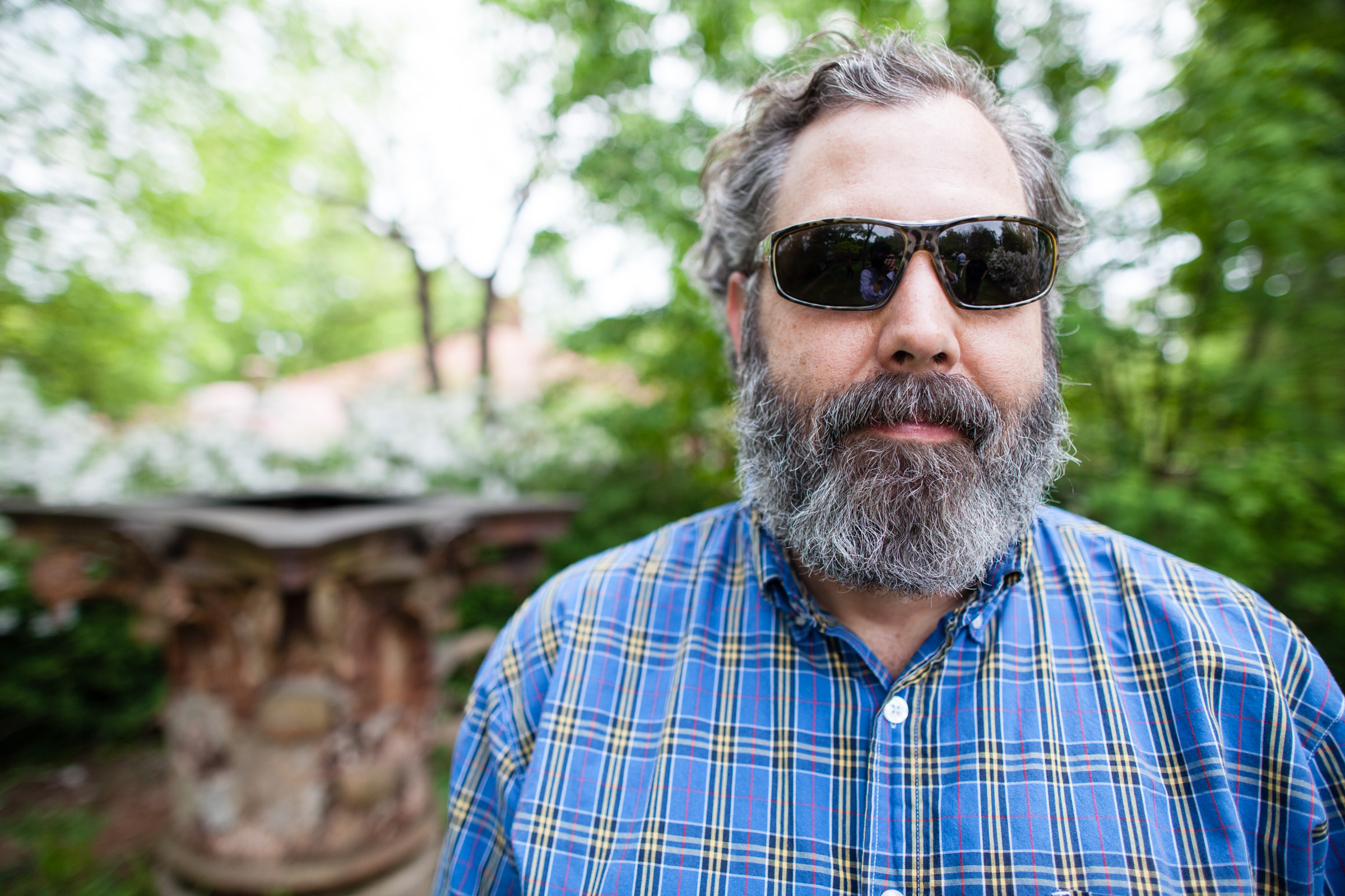
 3D Technologies Specialist