
Here in the Scholars’ Lab, we’ve been interested for some time in having the ability to take aerial photographs on a small scale. Many great uses exist for such techniques here at UVa. A landscape architect could use current, high resolution photos of a work site. An environmental science student may wish to see how things have changed along the shoreline over a short period of time. For these researchers, paying for an aerial survey would be cost prohibitive and unlikely. Flying a kite or balloon with camera attached is relatively inexpensive and can create great results.
Hanging cameras from aerial platforms (kites, balloons and pigeons) has been used since the dawn of photography.
By combining readily available products and a little ingenuity, just about anyone can fly a camera. We have taken our inspiration from Grassroots Mapping, an initiative of Public Laboratory, which is a organization dedicated to helping local activists leverage technology.
This morning, we made our maiden voyage using the balloon methods described on the Grassroots Mapping website. With our weather balloon and hacked Canon camera, we headed out in front of the library and made two small flights.
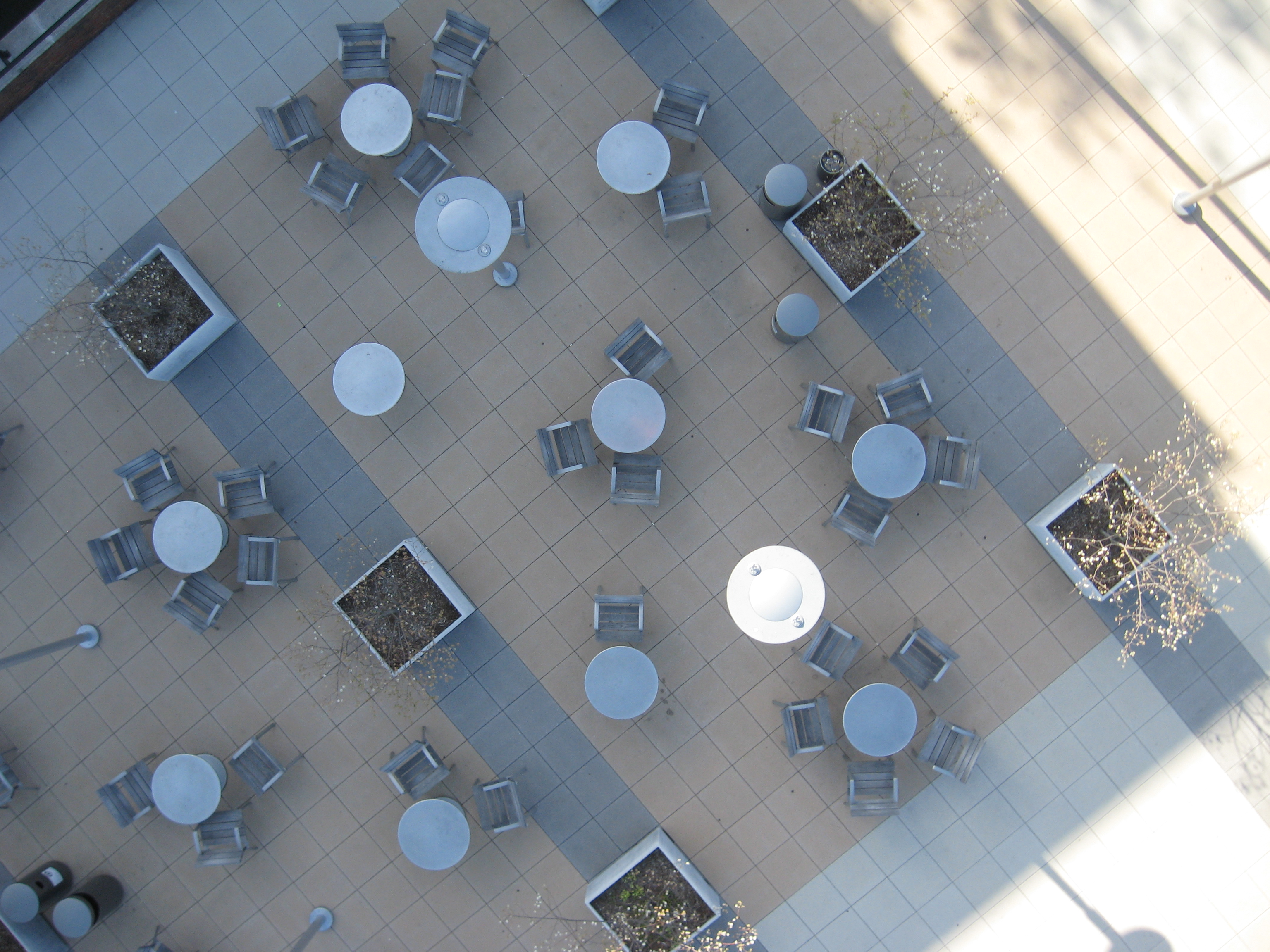
Clemons Library Terrace
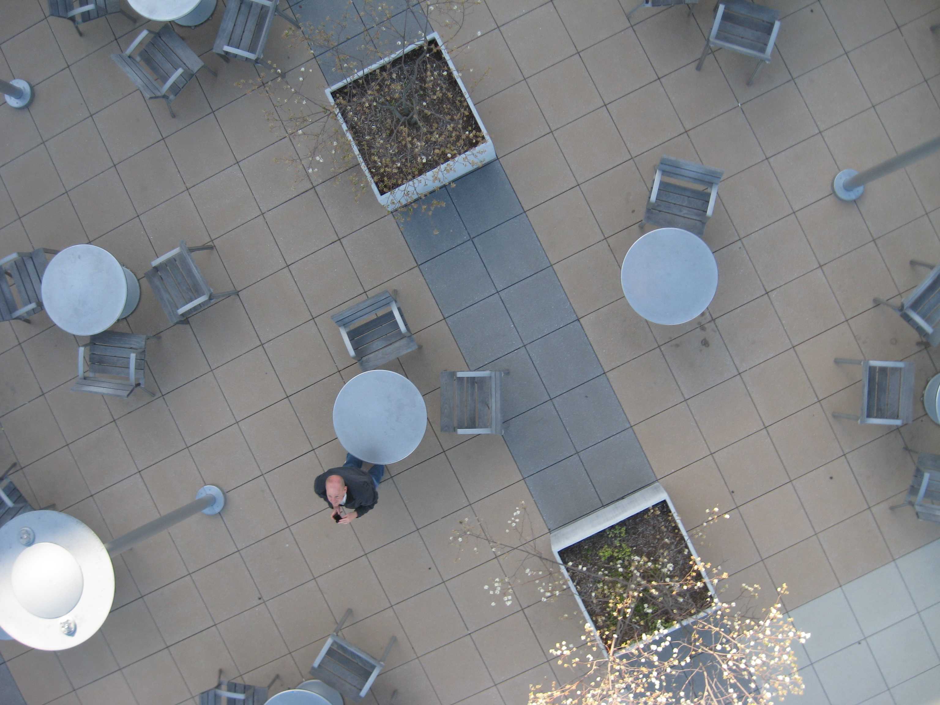
Louis S. on Clemons Terrace
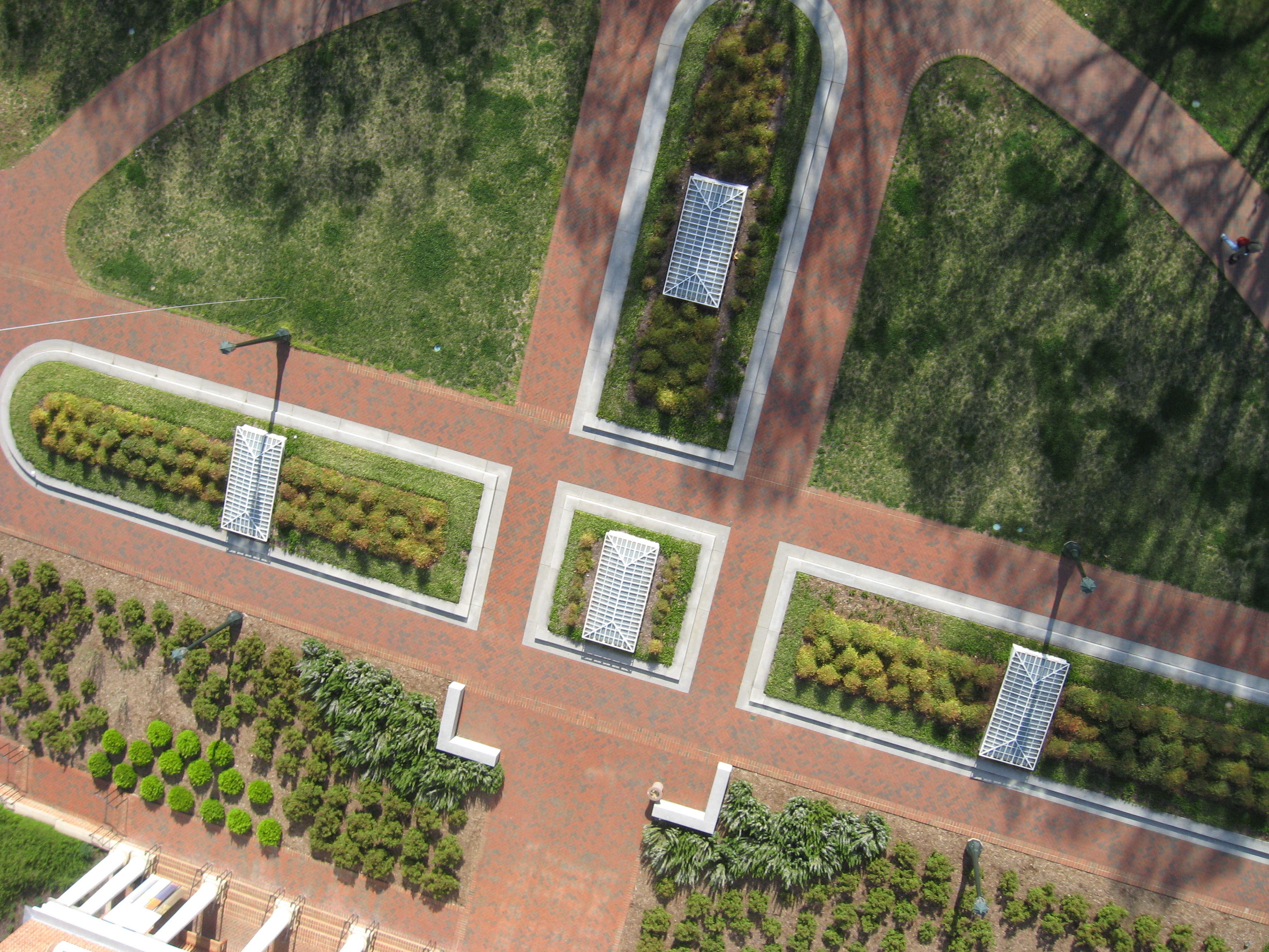
After flying over Clemons, we moved to the front of Alderman Library. The wind eddies were an issue this morning but we got some really nice shots.
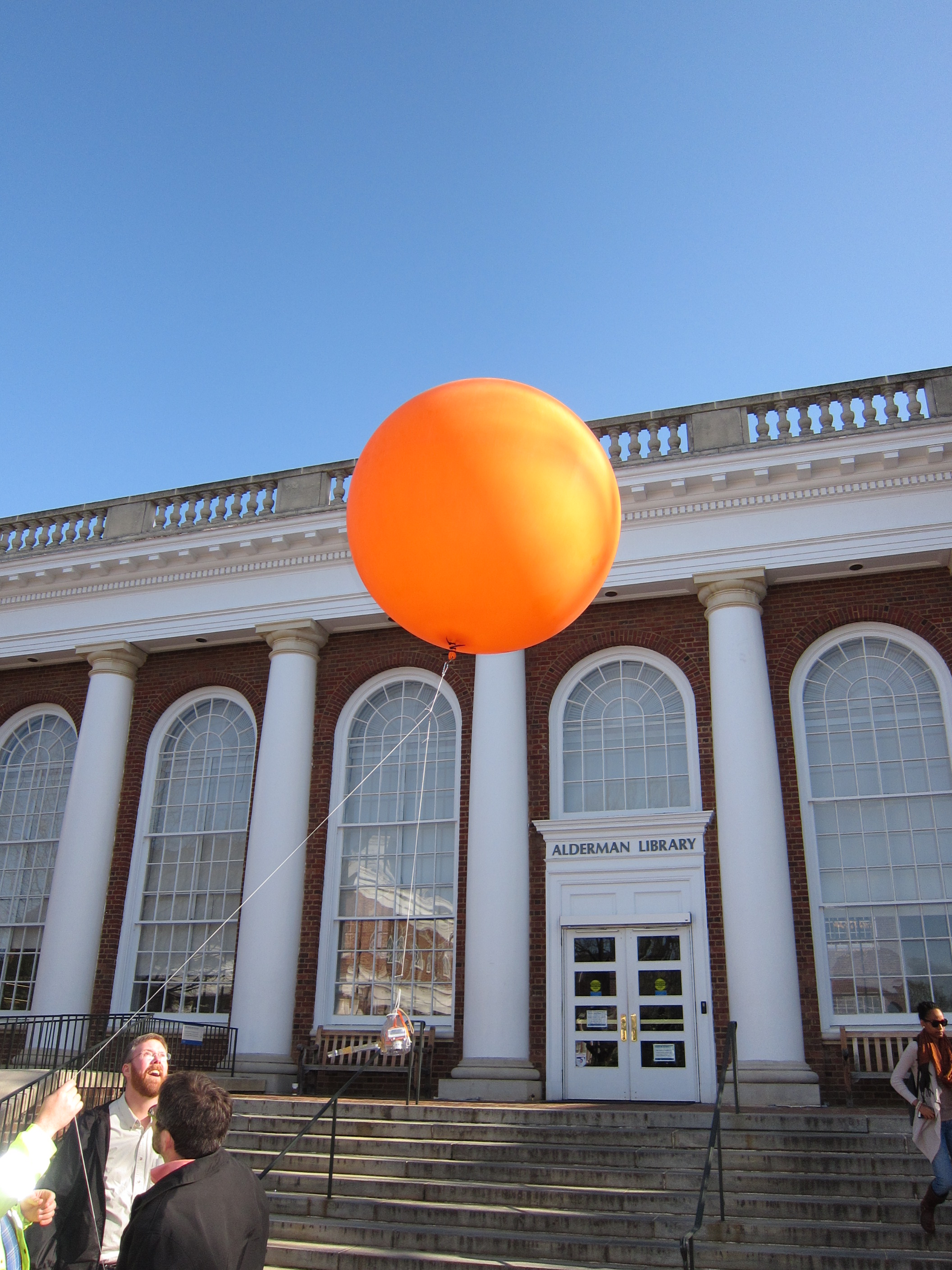
Alderman Launch
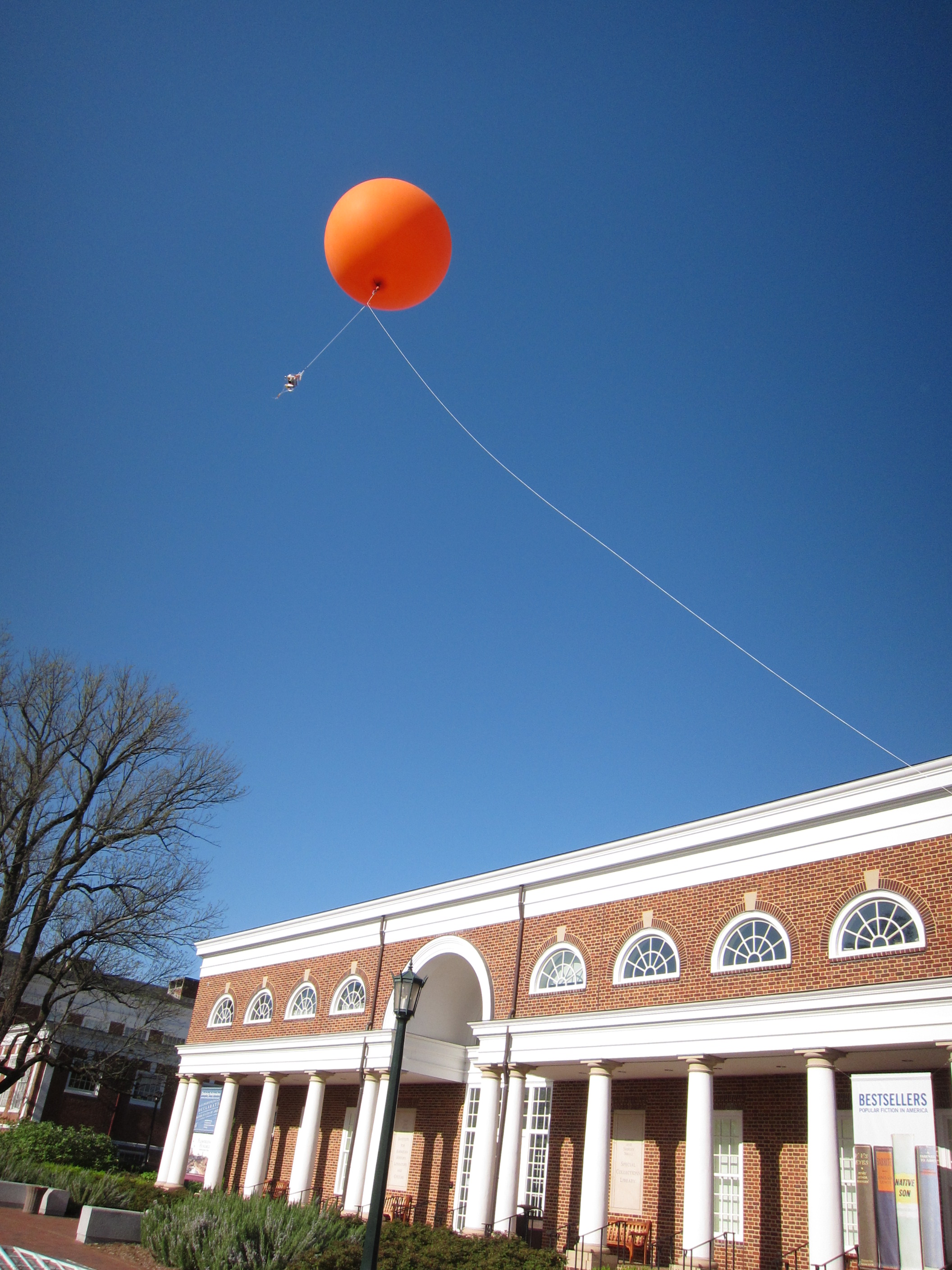
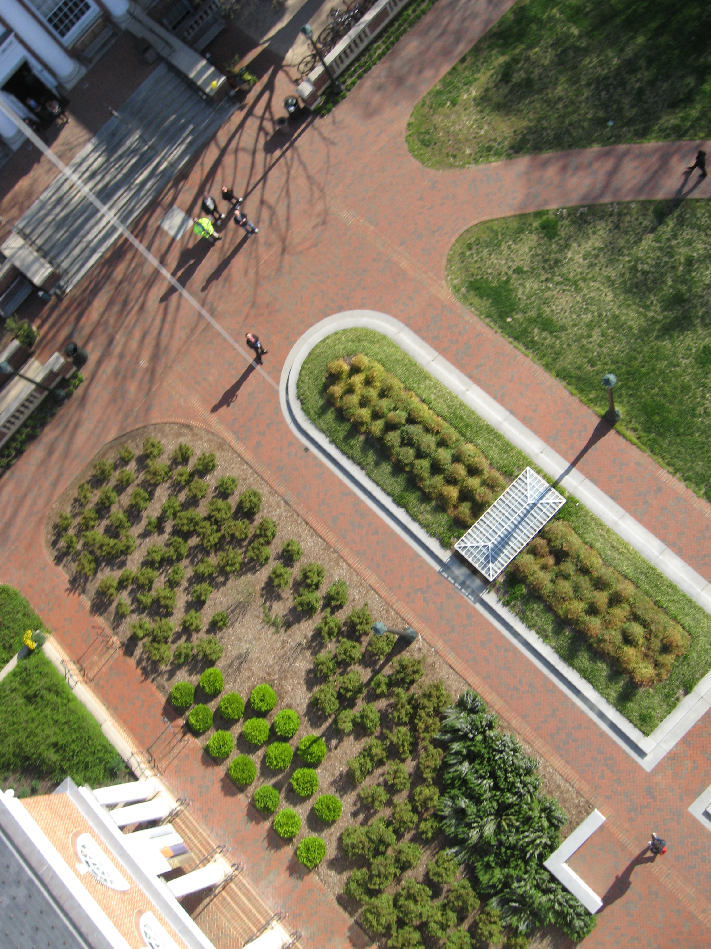
Balloon Over Harrison-Small
Kelly Holding Balloon Line
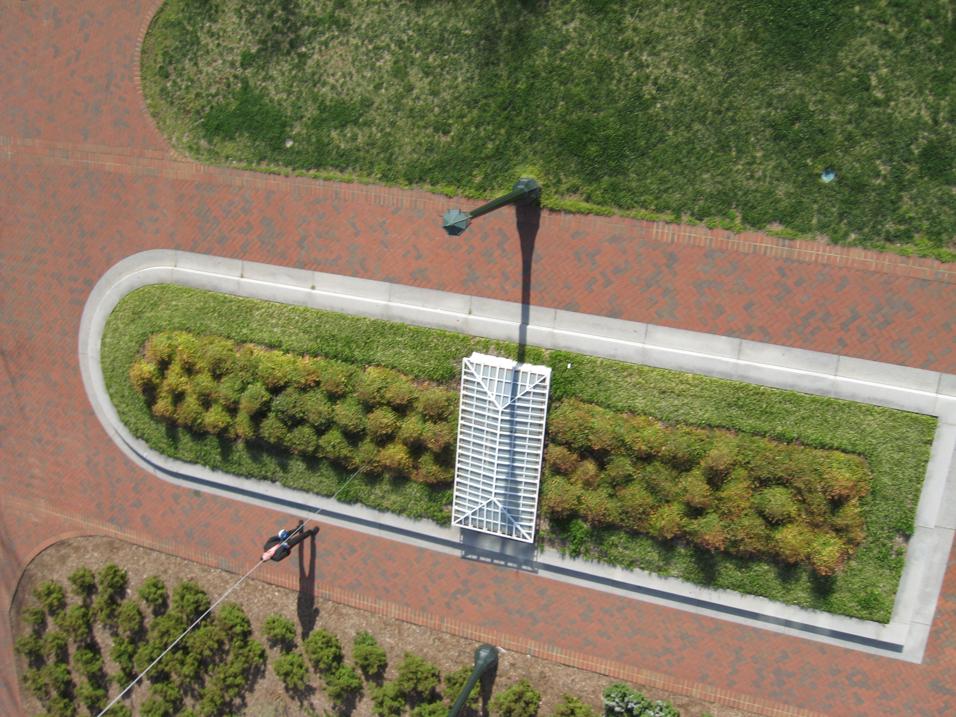
Skylights and Sidewalks
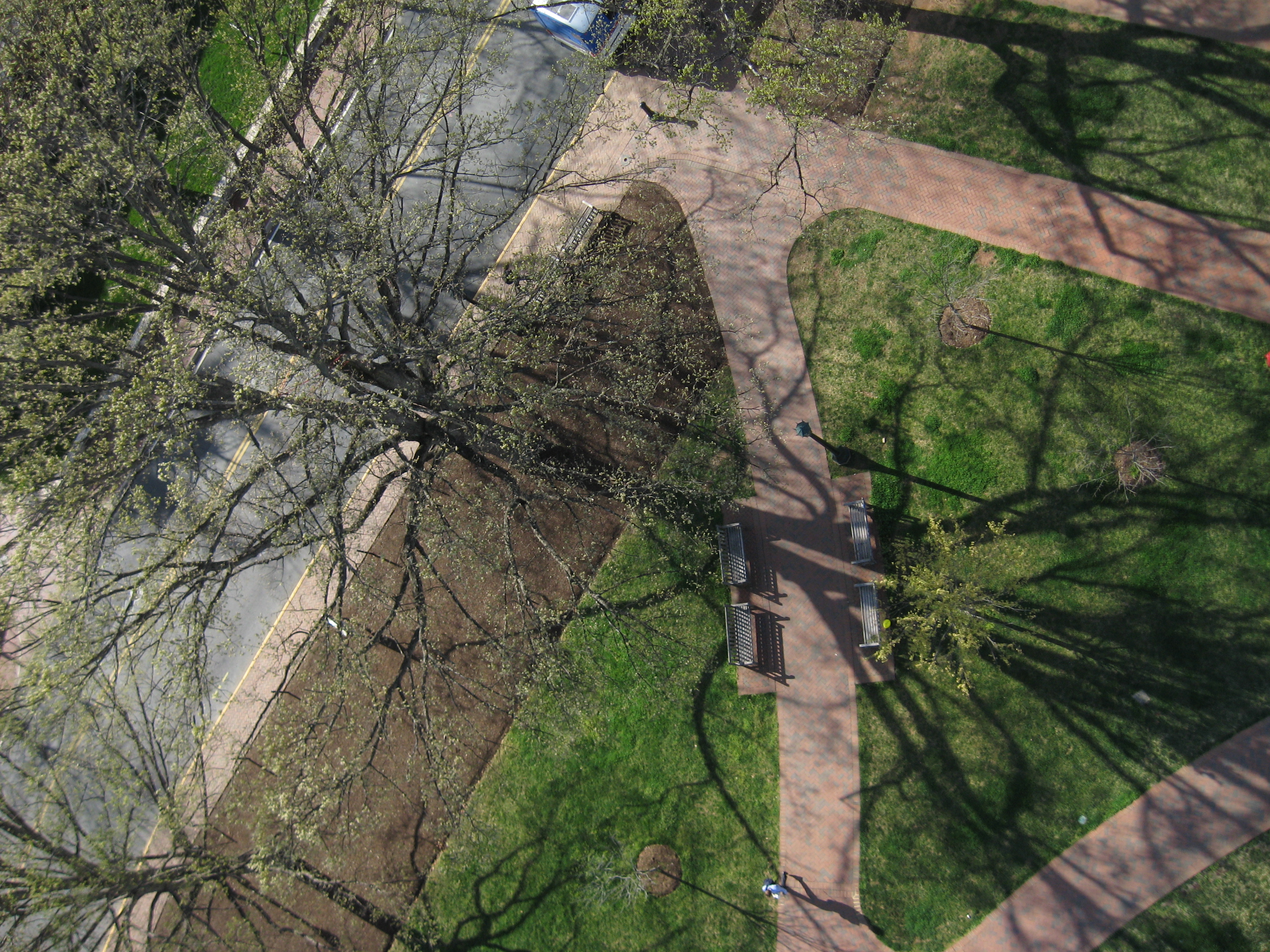
Trees and Benches
The Ground Crew In Front of Alderman
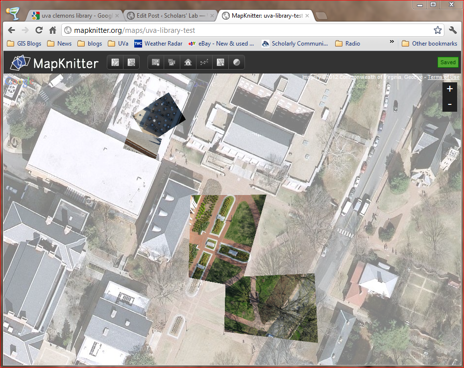
The folks at the Public Laboratory also created an online georeferencing tool called MapKnitter. This tool may not be the best but it’s fairly easy to understand and get some fairly decent results. View our test site here.
This is all in our preparation for our DIY Aerials workshops (on April 18 & 19) and THATCamp (April 20 & 21).
Guess what else we can do? We can make 3D models with our shots! A site called Hypr3D lets you upload images and then calculates the 3D geometry for you. It’s magic.